
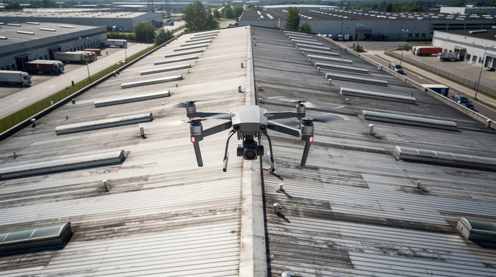
East Texas spring storms can narrow the safe flight and roof-access window for a Tyler, TX drone inspection. Large hail and damaging wind are recurring regional hazards, with severe storms more frequent in spring and autumn. We plan a flight only after checking site rules, wind conditions, and the areas that need imagery. The image set can map visible roof zones and access obstacles, then hand off selected details for close inspection rather than treating a photograph as a diagnosis.
Drone work is useful when a broad roof, steep surface, fragile area, or restricted access makes a first visual survey difficult. We define the question before flying: locate visible damage, document a perimeter, compare roof sections, or prepare a safer hands-on route. For a property in Catalyst Commerce Park, imagery is organized by roof zone and tied to a field inspection plan, so the contractor can see what the camera shows and what still needs testing.
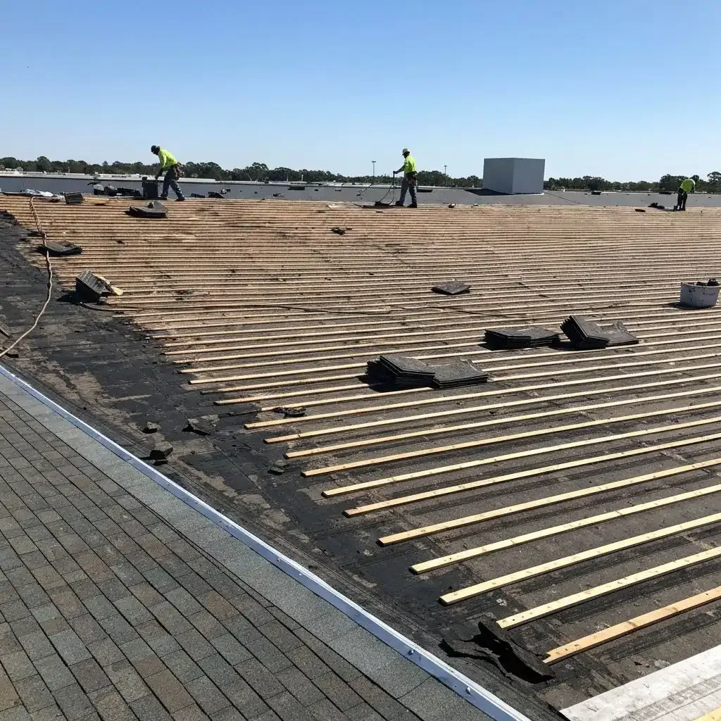
Flight zone and access release
Before launch, we confirm the property contact, flight permissions, weather, site hazards, and any limits around people, vehicles, utilities, or neighboring operations. The general contractor identifies active loading areas and restricted spaces, while the pilot sets a route that captures the roof without unnecessary passes. If a site rule or condition prevents safe flight, we record the limit and adjust the inspection method. A drone does not replace fall protection or access controls for a later hands-on check.
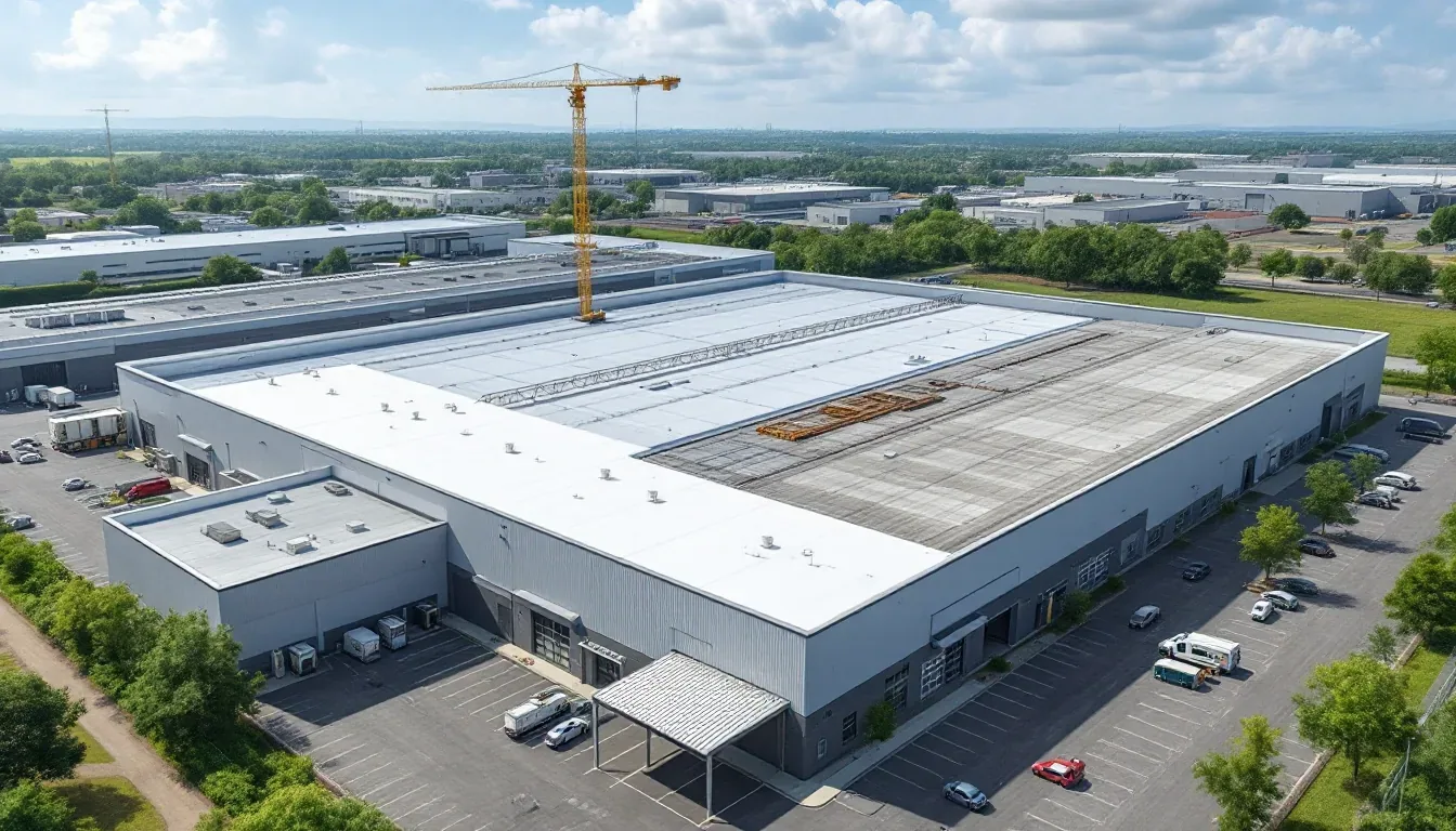
North Tyler Commerce Park/BioPark is now called Catalyst Commerce Park. In 2025, about 89 acres remained of the original 119-acre site, and a park traffic signal was nearing completion. That broad multi-property setting illustrates why arrival and flight coordination should follow the actual site plan, not a map pin alone. It does not establish roof conditions at any building. We confirm the launch area, identify roof sections by orientation, and note the route back to the site contact for the crew handoff.
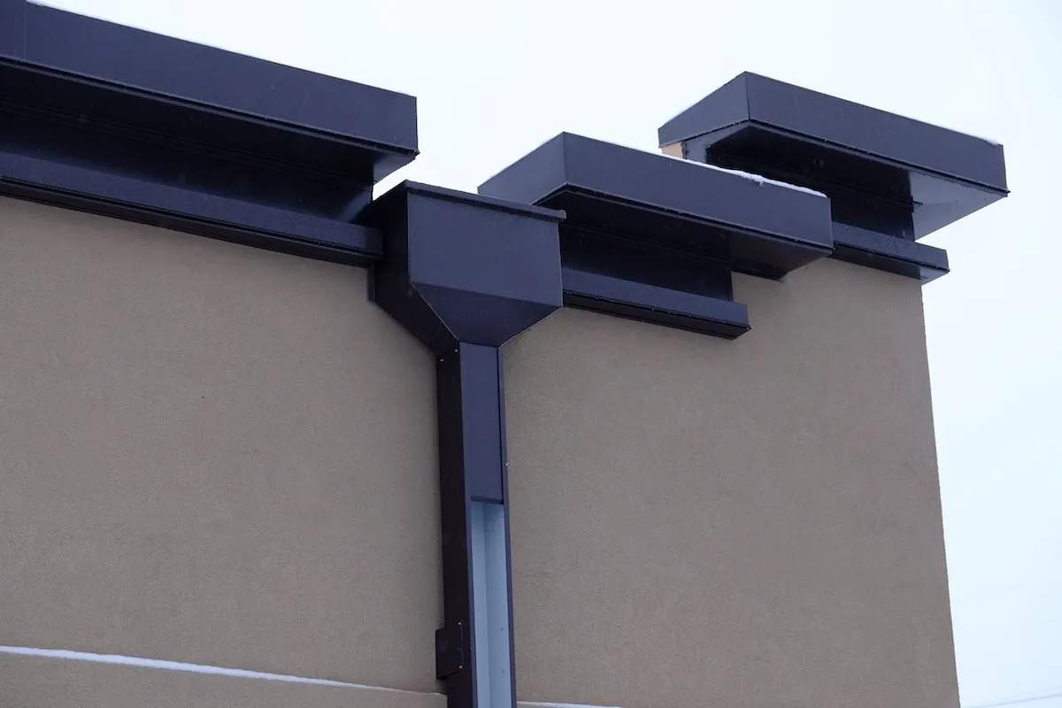
Image capture and roof mapping
Images are captured at a scale that helps locate seams, penetrations, drains, rooftop equipment, and perimeter details. We keep the camera path consistent enough to identify each roof zone and retain wider context for orientation. A close view may show displacement, debris, or visible surface damage, but it cannot confirm hidden moisture, membrane adhesion, or deck condition. The report labels what can be seen and identifies the detail that needs a closer test.
Tyler's July normal high of 94.5°F can influence the time available for inspection work on an exposed roof, though it is not a reading from the surface. We plan flight and hands-on follow-up around actual conditions and the facility's operating schedule. The image set may help the owner compare different sections, but the team should not infer roof area, system type, or condition from a business property's floor area or from visual appearance alone. A photo-marked condition record ties images to observations and next actions.
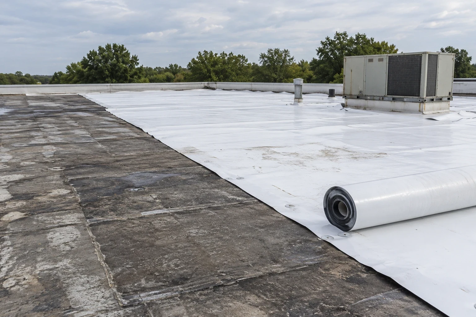
Image review and test points
After capture, we sort images by zone and identify visible conditions that may affect the work plan. A loose edge, displaced flashing, blocked drain, or puncture receives a location reference and an observation note. The report also marks blind spots, glare, shadows, or obstruction that limit what the camera could capture. Those limits matter: the next visit may need a ladder, lift, or controlled roof access to inspect the area closely.
South Broadway Commercial Corridor signal and equipment updates improved the route’s congestion ranking to 120th in Texas by 2025. A drone survey does not change a property's traffic controls, but its arrival and staging notes should fit the actual access plan. If imagery points to a wet area, we recommend a compatible test rather than claim the camera found moisture. An infrared moisture survey or selective cut can answer that separate question when the owner authorizes it.
Images that show a shadow or glare across a seam receive a limitation note rather than a condition label. We mark the area for a follow-up angle or closer inspection, and avoid using a low-resolution frame to define a repair boundary. That distinction helps the next crew carry the right ladder, safety equipment, and test materials instead of making a second trip to identify the roof feature.
Storm documentation limits
Drone images can preserve the visible condition of a roof after hail or wind, provided the flight is safe and the date and roof zones are recorded. They do not establish when a defect began, what lies below the membrane, or whether insurance coverage applies. We separate visible marks from verified openings and note any follow-up test. If weather interrupts the inspection, the report states which zones were captured and which remain open for review.
Catalyst Commerce Park and the East Grande and Old Omen Road area are different broad settings in Tyler, but each has its own access and operating context. On an actual property, the general contractor releases flight and roof access, and the report connects imagery to that approval. A hail damage review can pair visual evidence with a hands-on check, while a wind damage assessment can document edge and flashing conditions.
From imagery to field work
The handoff includes the flight area, image labels, visible findings, access limits, and recommended next tests. We identify the person who can release each follow-up zone and any equipment needed to reach it. If the camera shows a detail that needs repair, the repair crew receives its location and the field question to answer. That keeps drone capture in its proper role as a survey tool and gives the next work package a specific starting point.
For a multi-building owner, coordinated inspection records can keep zone labels consistent while each facility retains separate imagery and findings. A repair visit handles a confirmed defect, while a replacement evaluation may follow broader testing. We provide the general contractor a staged field plan with open questions, not an estimate based solely on aerial appearance.
Commercial Roofing Questions
Can drone imagery confirm a roof leak?
Imagery may show a visible opening or detail that deserves inspection, but it cannot trace water through concealed layers. We use the image location to guide a hands-on check and any authorized testing. The report distinguishes what appears in the frame from a confirmed leak path.
When is a drone useful for a commercial roof?
It can help map a broad roof, steep surface, fragile area, or location where an initial close approach is limited. The flight plan depends on safe conditions and site rules. A later hands-on visit may still be needed for seams, flashing, or moisture tests.
Can the images be used after hail or wind?
They can document visible conditions by roof zone when it is safe to fly. Images do not determine when damage happened or whether an insurer will cover it. We pair photographs with field observations and any needed tests.
What does the general contractor need to arrange?
Provide the property contact, access and flight rules, active work areas, and any operating limits. The site representative releases a safe launch area and identifies restricted zones. We record any area that cannot be captured and plan another method if needed.
Will a drone replace an in-person inspection?
No. It provides aerial imagery and a map of visible conditions, while a hands-on inspection checks details at close range. Moisture readings, test cuts, and repair preparation require separate methods and approval.
Related Pages
Catalyst Commerce Park
Tyler, TX
Commercial Roof Inspection
Tyler, TX
Commercial Roof Condition Reports
Tyler, TX
Infrared Roof Moisture Survey
Tyler, TX
Plan the flight and follow-up
Share the roof plan, access rules, site contact, operating window, and decision deadline. We will define the flight zones, label visible findings, and identify any hands-on test or repair release that follows.